How likely is a devastating earthquake in Estonia?
Most Estonians know that we live in a region where earthquakes are rare and when they do happen, they are almost invariably small, barely perceptible. However, it is known that at least 24 macroseismic earthquakes (that is, earthquakes that can actually be felt) have occurred in Estonia between 1602 and 1995.
Most of these have occurred north-west of the zero-rise line through the central part of Lake Võrtsjärv and the northern part of Lake Peipsi.1 In contrast, the strongest earthquakes have occurred in north-western Estonia. Most of the earthquake foci have so far been located in the upper part of the earth’s crust, at a depth of 5-10 km.1 The strongest earthquake in Estonia’s recent history occurred on the seabed near Osmus Island on 25 October 1976 and was also felt in southern Finland and most of Estonia.
The magnitude of the earthquake was 4.75 magnitude at the time, which was manifested by three shocks, ground shaking and strong rumbling. Almost a month later, two aftershocks occurred in north-west Estonia, on 17 November and 22 November respectively, but their magnitude varied between 3 and 4 magnitude.1
There have been major earthquakes in Estonia before
But we know from past history that this is not an exceptional case. On 17 October 1602, an earthquake of similar magnitude1 occurred near Tallinn,1 Estonia, which has also been estimated in modern times to be up to 4.75 magnitude, and which was expressed by a strong earthquake.
Nearly 70 years later, on the night of 1 February 1670, a new strong earthquake (this time almost 4.5 magnitude) occurred 4 km north of Pärnu, causing cracks in the ground, but no records of major ruptures are available.1 It was a couple of centuries before a new strong earthquake occurred on 28 January in and around the city of Narva, this time up to 4 magnitude, causing glasses to clink, objects to fall and plaster to slide down from the ceiling.
Although in the centuries that followed the earthquake has shaken in places in Estonia at varying intensities, they have remained between 2 and 4 magnitude – which to the average person has varied accordingly from feeling nothing to moving around in a building and collectively without damaging buildings. However, not every place in the world is so blessed.
Chaos in 80 seconds
Turkey is one example, located on a seismically active eastern Anatolian plateau. In the last few hundred years alone, various sections of the region have experienced a series of devastating earthquakes with major casualties. For example, Palu (1789, M 7.2), Amanos (1872, M 7.2), Karlıova (1971 (M 6.6,) and Pütürge (2020, M 6.8).2,3 An example from the earlier history is 1114. The Marash earthquakes of 1114 and 1513.4
The recurrence interval for earthquakes of magnitude 6.8-7.0 in the eastern part of the Palu and Pütürge segments is almost 150 years, while the recurrence interval for the western Pazarcık and Amanos segments is 237-772 years and 414-917 years, respectively, for earthquakes of magnitude 7.0-7.4.3 Therefore, the threat of earthquakes, their likelihood and the consequent risks to the Turkish public sector and the relevant authorities, but also to the population, cannot be special news.
It is not known whether and what kind of earthquakes have occurred in Estonia in the distant past. On the Richter scale, an earthquake of magnitude 8 and above means minimal overall and complete destruction, chaos and irreparable loss of life.
However, the advantage of geographic location and the poor practice of events does not mean that this will change in the future. Therefore, it makes every sense to acquire and hone the extraordinary skills that accompany natural phenomena that are as extraordinarily devastating as they are human.
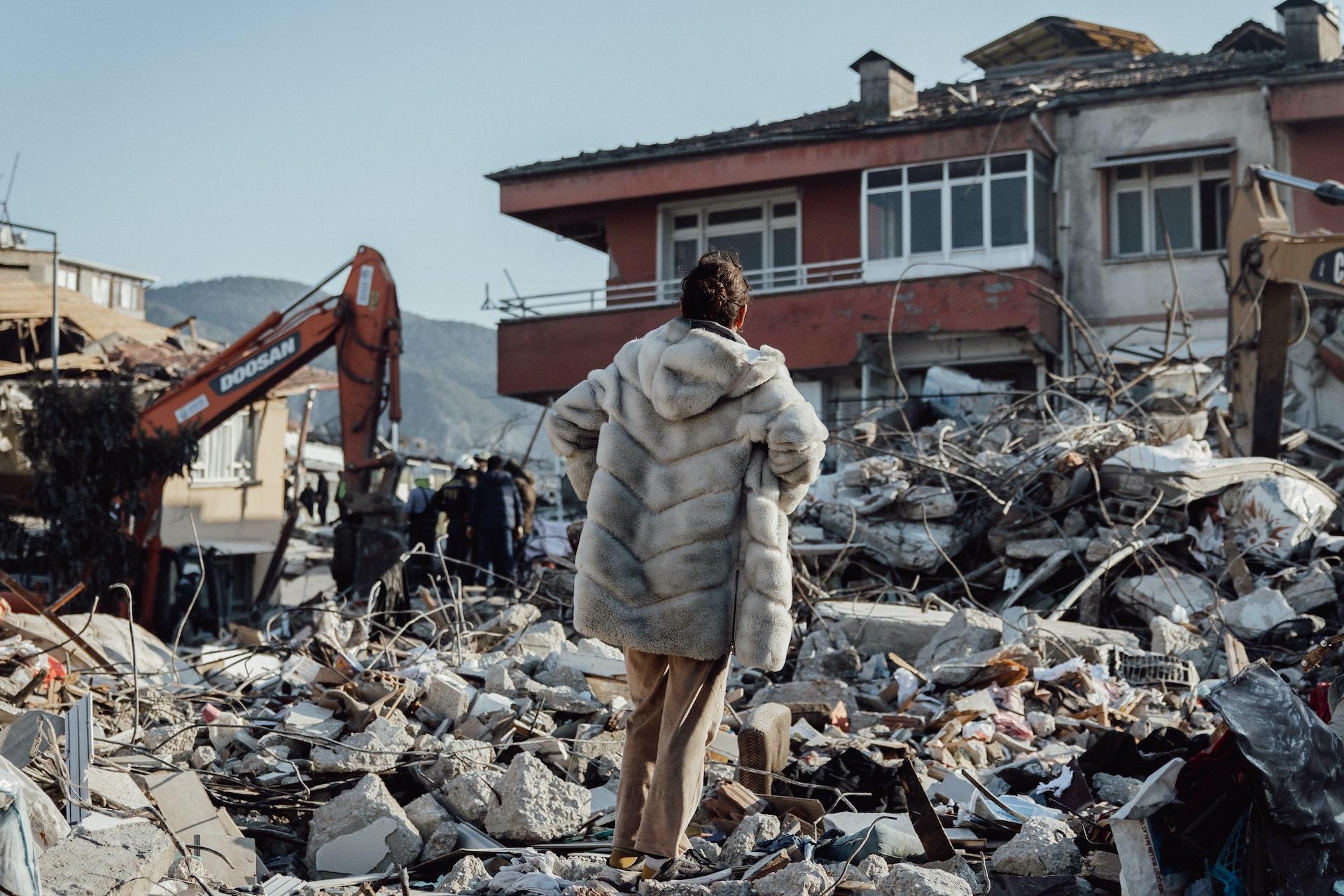
Photo: after the earthquake (Pexels: Faruk Tokluoğlu, 27.03.2023).
Sources:
4 Aktug et al., 2016. Slip rates and seismic potential on the East Anatolian Fault System using an improved GPS velocity field. Journal of Geodynamics, 94, pp. 1–12.
Jaga postitust: